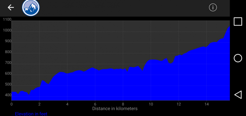
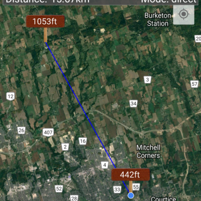
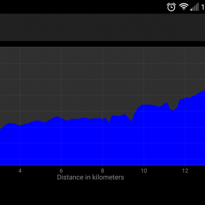
Hi everyone, at our March meeting Joe VE3VGJ gave a real interesting presentation on the differences in elevations between two points. I found a good app for the Android called Elevation Profile that you can find in the Play Store. It will show you the two points that you choose, their elevation, and you can see it with satellite view or a side view which will show you any geographic features that might be in the path. It is not as good as the software Joe has with is GPS, but it is free and gives you a pretty good idea what the path is like.
73 de Laird VE3LKS


